


[ad_1]
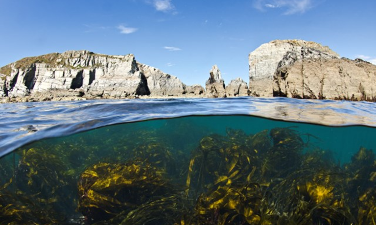
The UK will become the first nation to produce a full map of its blue carbon stores.
Led by the Scottish Association for Marine Science (SAMS) and funded by WWF-UK, it builds on blue carbon mapping that began in Scotland.
Initial findings are expected later this year, with a final report to be published in the summer next year.
Information about how much carbon is stored in and sequestered by UK marine habitats is currently limited.
More than two thirds of the UK is under the sea, yet carbon accounting stops on land, creating a substantial blind spot around the carbon storage capacity of UK seas.
Dr Simon Walmsley, Chief Marine Advisor at WWF-UK
The project aims to address this scientific blind spot, paving the way for better understanding and protection of the UK’s blue carbon habitats.
Mapping blue carbon stores will allow UK governments to plan and prioritise how marine environments are used in future
Dr Simon Walmsley, chief marine adviser at WWF-UK, said: “More than two thirds of the UK is under the sea, yet carbon accounting stops on land, creating a substantial blind spot around the carbon storage capacity of UK seas. We need to learn more about this and fast to stop vital marine carbon stores being damaged by human activities.
“This data will be vital for a range of industries, for futureproofing UK fisheries, and for tackling the climate and nature crises.”
Dr Lissa Batey, head of marine conservation at The Wildlife Trusts, said: “The Government has committed to protecting 30% of the sea by 2030 but the wider seascape is largely being ignored. From vibrant seagrass meadows to cold water corals, our marine environment is not only rich in wildlife but vitally important for storing carbon and tackling climate change.
“We are expanding the North Sea study to cover all UK seas, providing us with crucial data that can help determine how we can strategically protect our oceans for wildlife, climate, and people.”
The UK Blue Carbon Mapping project will complete essential research in three regional phases – English Channel/Western Approaches, Irish Sea and Scotland (with the North Sea assessment completed and published last year) – before combining these into a UK summary next year.
[ad_2]
Source link


